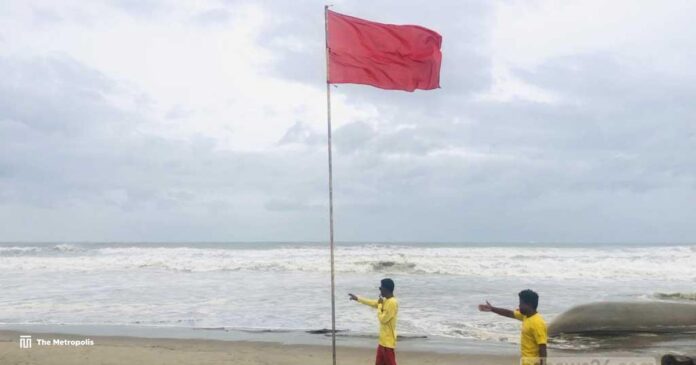
With winds of 120 kph, Cyclone Remal is currently 200 km off the coast of Bangladesh and is moving towards the country.
With winds of up to 120 kph, Cyclone Remal is currently 200 km off the coast of Bangladesh.
Great Danger Signal No. 10 has been raised for Mongla and Payra ports, and Great Danger Signal No. 9 has been raised for Chattogram and Cox’s Bazar ports due to the storm’s center’s strong seas, according to the Bangladesh Meteorological Department.
During midday, the storm’s center was located 335 kilometers to the southwest of the Chattogram maritime port, 315 km to the southwest of the Cox’s Bazar port, 220 km to the south of the Mongla port, and 200 km below the Payra port.
Ninety kph wind gusts, or gales, have been recorded within 64 kilometers of the storm’s center.
Under the storm’s effect, coastal areas are seeing rain and strong gusts, meteorologist Md Omar Faruk told bdnews24.com.
Remal is predicted to make landfall on Sunday between the Indian island of Sagar and the Bangladeshi town of Khepupara between dusk and midnight, if the storm’s northward trajectory is confirmed.
When the storm makes landfall, wind speeds might increase to 110–120 kph, with gusts or gales reaching up to 135 kph, according to an Indian Met Office bulletin.
The wind speed range for a typical cyclone is 62–88 kph. It is deemed a severe cyclone when it reaches a speed of 89–118 km/h. When the wind speed reaches 119–219 km/h, the cyclone is extremely strong. Ultimately, it is regarded as a super cyclone when its speed reaches 220 kph.
Cyclone Michaung, which formed on December 3, 2023, was the final one to form in the Bay of Bengal. Later, it passed through Andhra Pradesh, India, and had little impact on Bangladesh.
Cyclone Midhili developed in the Bay of Bengal on November 17 and made landfall close to Khepupara in Bangladesh. The wind was now reaching 88 kph. The storm caused damage to trees and crops and claimed the lives of nine individuals.


